


Filters

Stock vector images of Geografisch
Discover royalty-free, professionally-designed vector art of Geografisch for personal and commercial use.
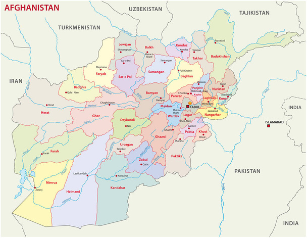
Afghanistan administrative and political vector map includes surrounding countries, in color with cities, district names and capitals

European country Poland and detailed voivodeships (provinces)

European country United Kingdom and regions of England
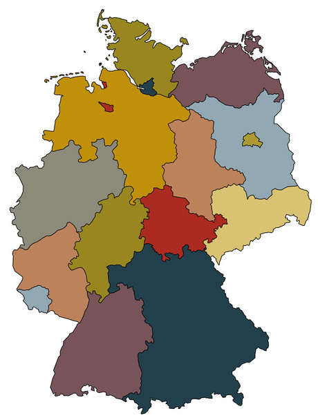
Map of germany with all provinces in different colors

Map of Netherlands with highways in pastel green

Map of Norway with highways in pastel green
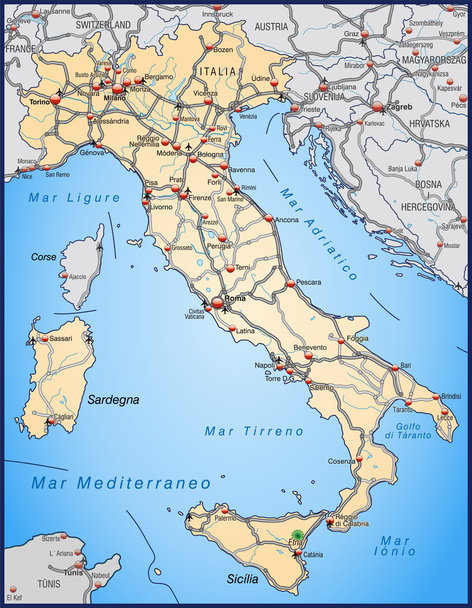
Map of Italy with highways in pastel orange
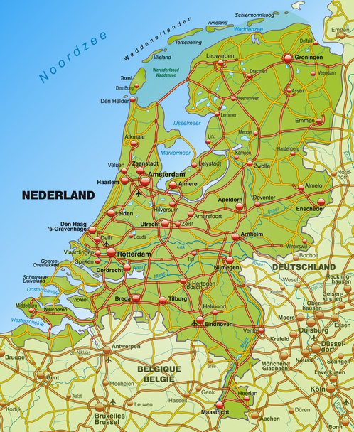
Map of Netherlands with highways
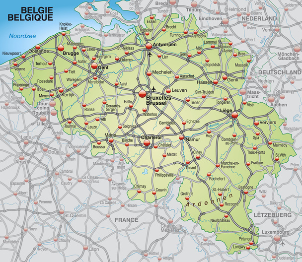
Map of Belgium with highways in pastel green

Map of Italy with highways in pastel green

Map of Denmark with highways in pastel green
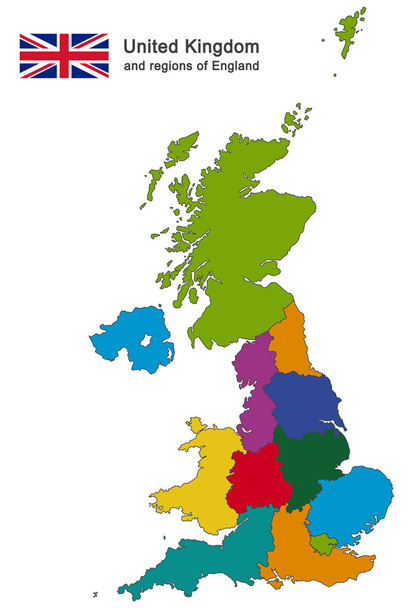
European country United Kingdom and regions of England
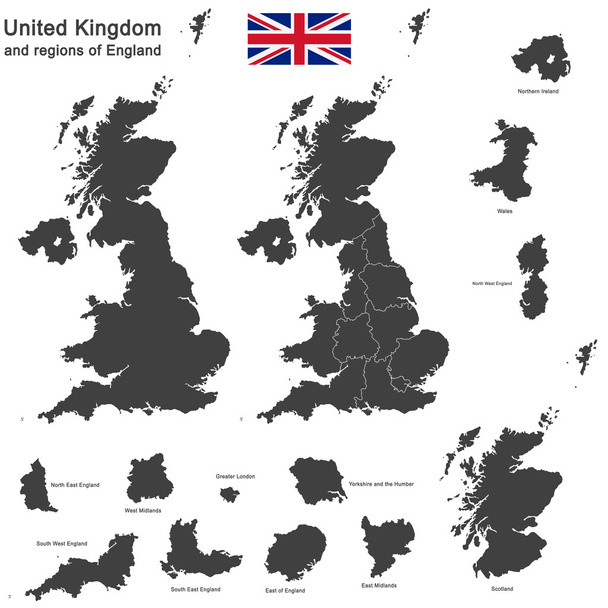
European country United Kingdom and regions of England

European country Czech Republic and detailed regions
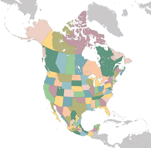
The largest countries of the North America are Canada, the United States and Mexico.

Map of upper Austria with highways in pastel green

Location of Latvia on the Europa continent
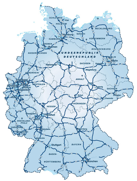
Map of Germany with highways in blue

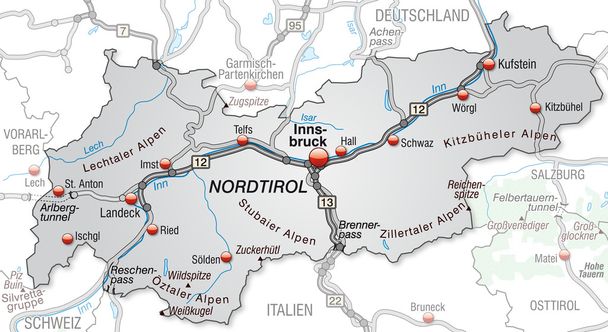
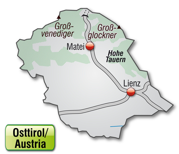
Map of East Tyrol with highways in pastel orange
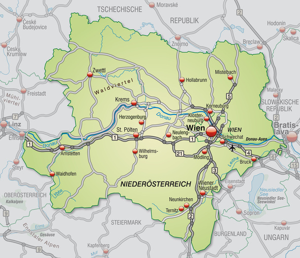
Map of Lower Austria with highways in pastel green

Map of salzburg with highways
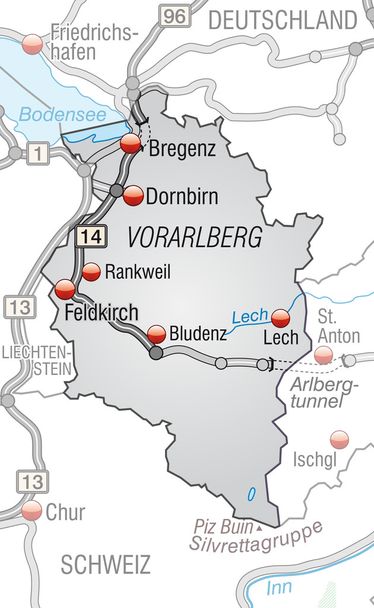
Map of vorarlberg with highways in gray
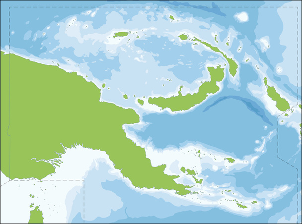
The Independent State of Papua New Guinea is an Oceanian country that occupies the eastern half of the island of New Guinea and its offshore islands in Melanesia.

European country United Kingdom and regions of England

Map of Hesse with highways in pastel green
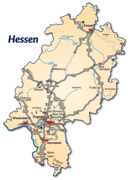
Map of Hesse with highways in pastel orange

Map of cayman Islands. High detailed vector map - cayman Islands.
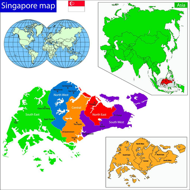
Singapore map, web simple illustration
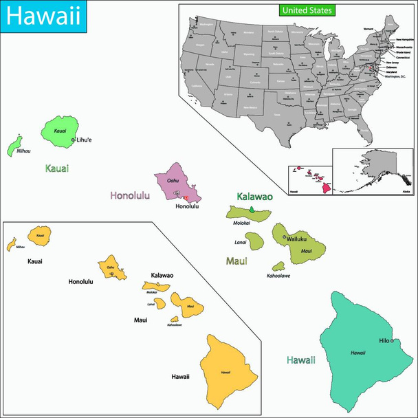
Hawaii map, web simple illustration

Content delivery network - CDN concept. Geographically distributed data centers, network of proxy servers. Linear outline flat design vector landing page template. Vector illustration

West european country germany and the federal states

City road map of Naples, Italy
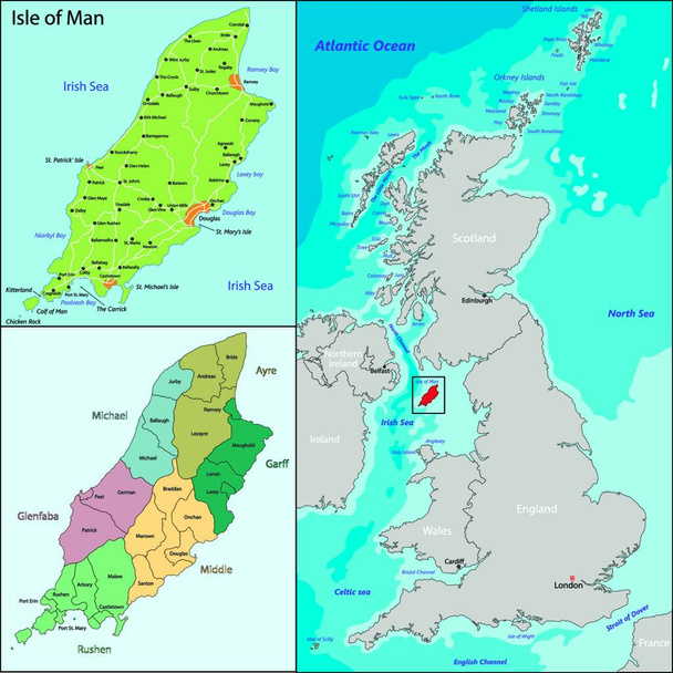
Isle of Man, vector illustration simple design
"South Dakota map" flat icon, vector illustration
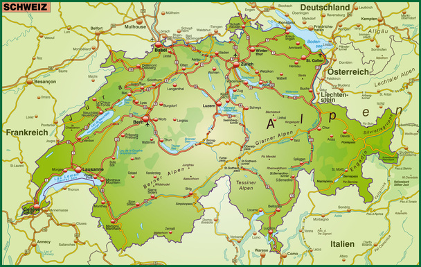
Map of Switzerland with highways
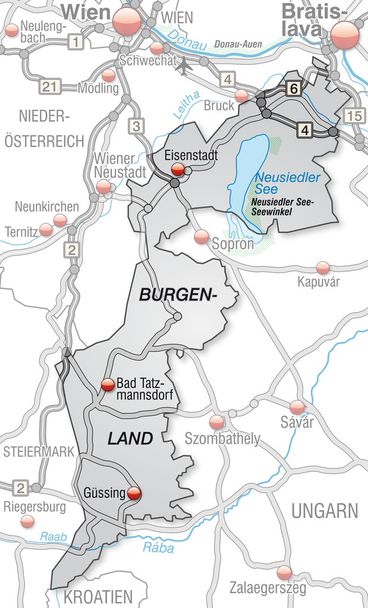
Map of Burgenland with highways in gray

Map of Portugal with highways in pastel orange

Map of upper Austria with highways
Map of Burgenland with highways

Cayman Islands map vector illustration, scribble sketch Cayman Islands
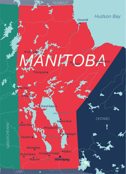
Manitoba province vector editable map of the Canada with capital, national borders, cities and towns, rivers and lakes. Vector EPS-10 file

European country Denmark and detailed regions

Map of Germany with highways in blue
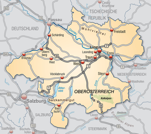
Map of upper Austria with highways in pastel orange

Map of vorarlberg with highways in pastel green
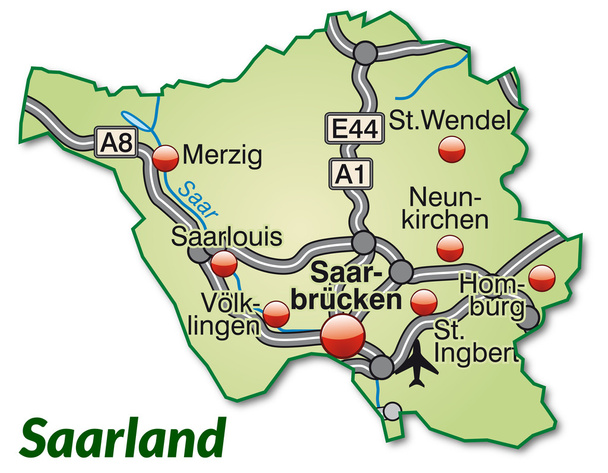
Map of Saarland with highways in pastel green

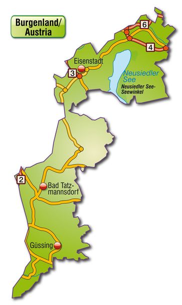
Map of Burgenland with highways in pastel orange

Map of kaernten with highways in pastel orange
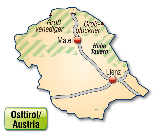
Map of East Tyrol with highways in pastel orange
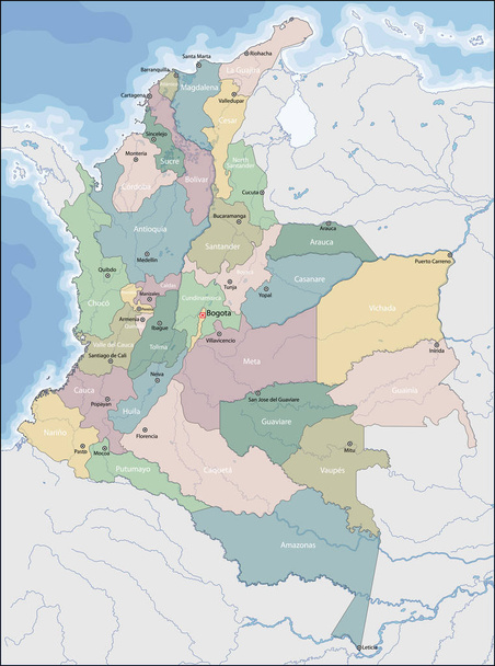
Colombia is a sovereign state largely situated in the northwest of South America, with territories in Central America.

Bosnia and Herzegovina is a country of South and Southeast Europe, located within the Balkans
Geographical targeting line icon.Tracking location of website visitors to provide special geographically tailored content or products.Marketing concept. Isolated vector illustration. Editable stroke

Flat design with people. CDN - Content Delivery Network acronym. business concept background. Vector illustration for website banner, marketing materials, business presentation, online advertising
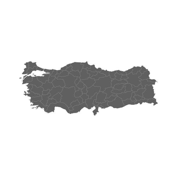
Vector illustration of grey Turkey map. Vector Turkey map.
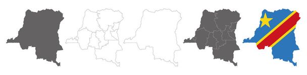
Vector map flag of Democratic Republic of the Congo isolated on white background
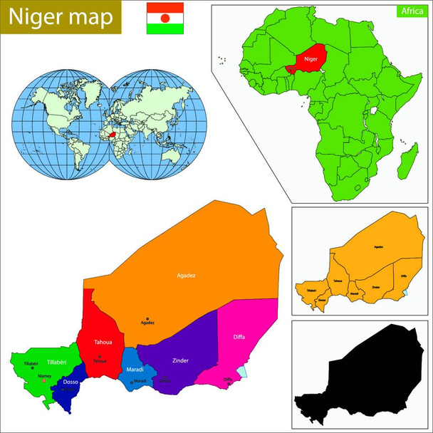
Niger map, web simple illustration
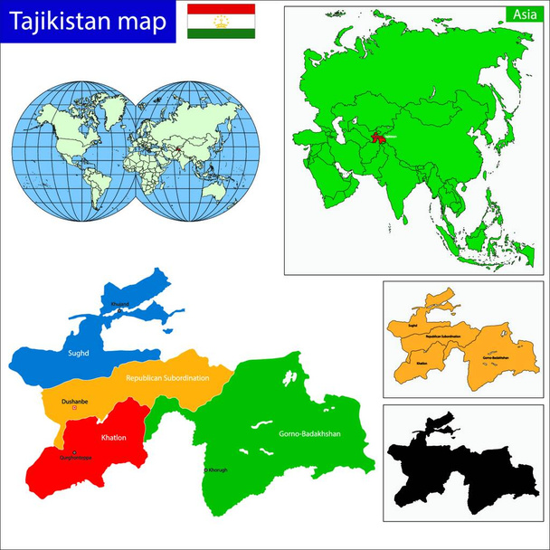
Tajikistan map, vector illustration simple design

Illustration of the East Timor map

The illustration of Indiana map

Map of Austria with highways
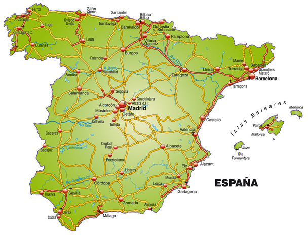
Map of Spain with highways

Map of Austria with highways
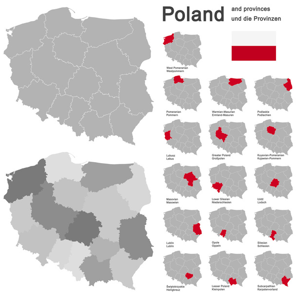
European country Poland and detailed voivodeships (provinces)
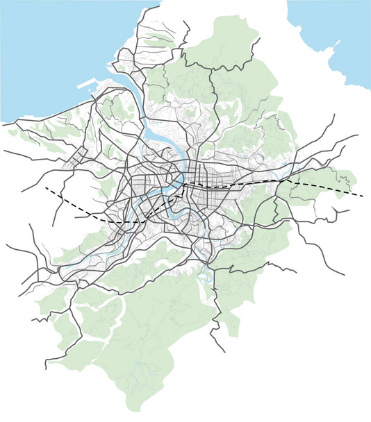
Taipei, Taiwan streets, roads, avenues, transportation vector map

Europe - Political Map of Europe

Map of Norway with highways

Map of Lower Austria with highways in gray
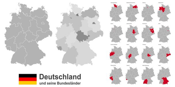
West european country germany and the federal states
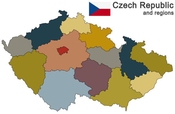
European country Czech Republic and detailed regions

European country Czech Republic and detailed regions
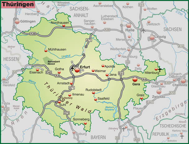
Map of thuringia with highways in pastel green

Map of Saarland with highways in pastel green
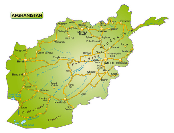
Map of Afghanistan with highways
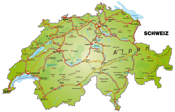
Map of Switzerland with highways
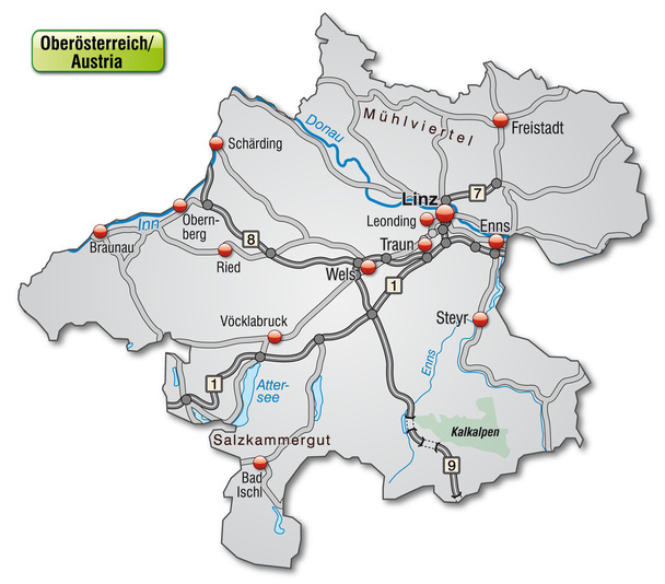
Map of upper Austria with highways in gray

Turkey country detailed editable map with regions cities and towns, roads and railways, geographic sites. Vector EPS-10 file
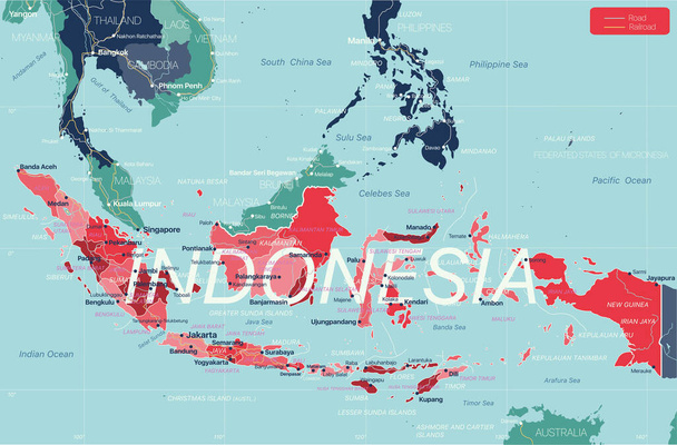
Indonesia country detailed editable map with regions cities and towns, roads and railways, geographic sites. Vector EPS-10 file

West european country germany and the federal states

Netherlands map, graphic vector illustration
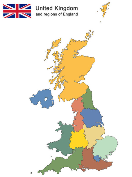
European country United Kingdom and regions of England
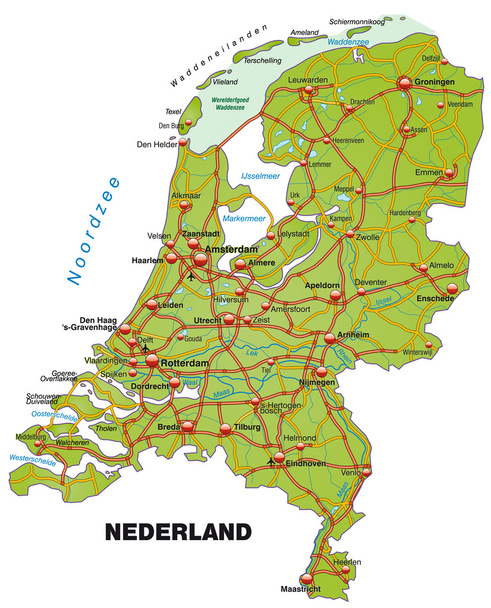
Map of Netherlands with highways
Map of tyrol with highways in gray

Map of Spain with highways in pastel orange
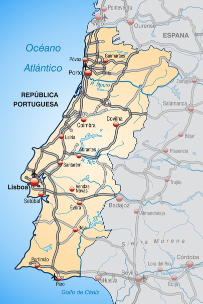
Map of Portugal with highways in pastel orange
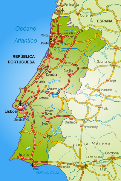
Map of Portugal with highways
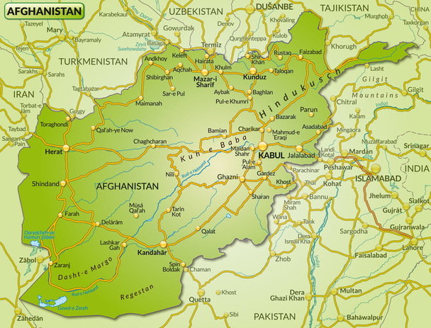
Map of Afghanistan with highways
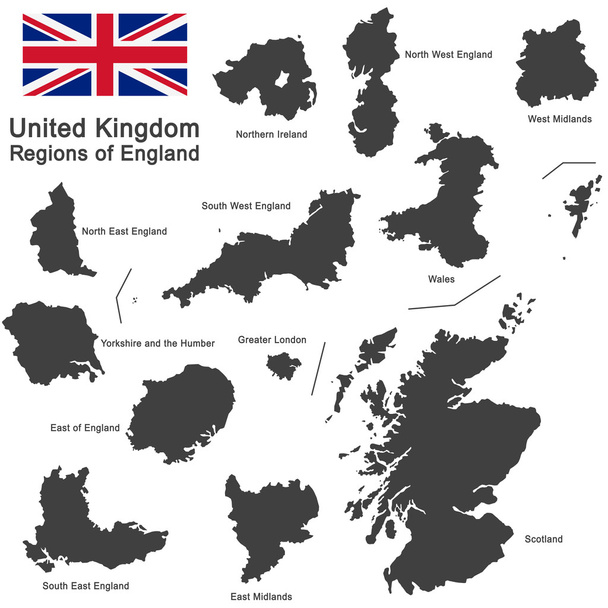
European country United Kingdom and regions of England
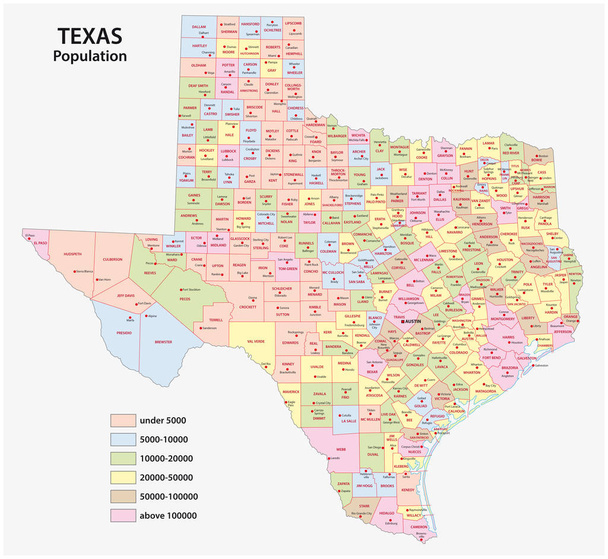
Administrative county map of the federal state of texas by population density
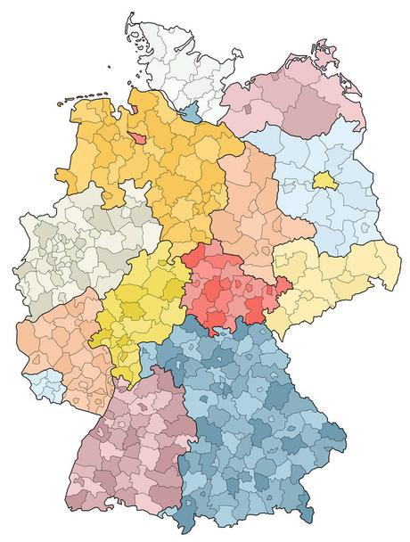
West european country germany and the federal states
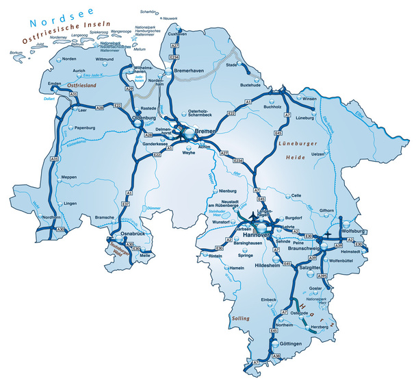
Map of Lower Saxony with highways in blue
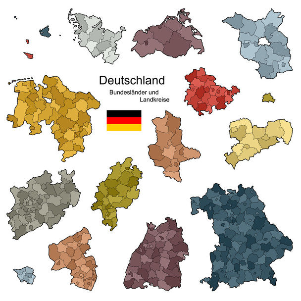
Provinces and districts of Germany

CDN Content delivery network modern flat thin line illustration with isometric acronym abbreviation CDN text. Geographically distributed data centers, network of proxy servers. Linear isolated icon.
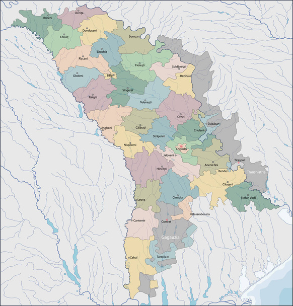
Moldova is a landlocked country in Eastern Europe

Map of tyrol with highways
Map of East Tyrol with highways in gray
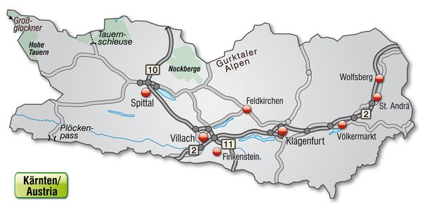
Map of kaernten with highways in gray

DN Content delivery network - geographically distributed network of proxy servers, data centers and interconnected servers. Vector illustration
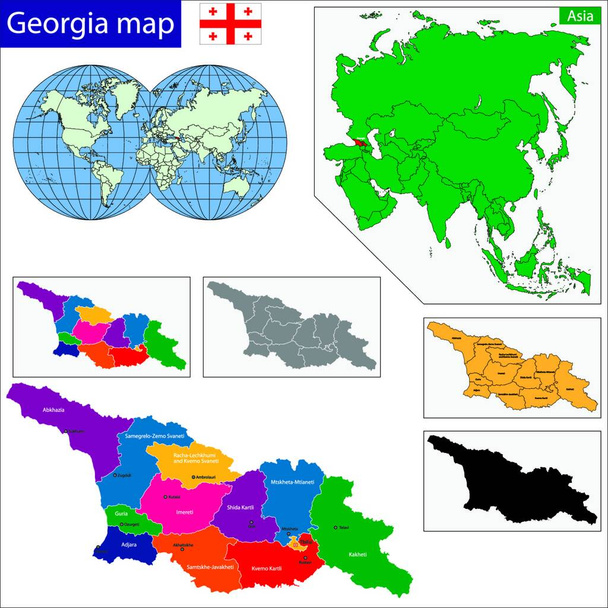
Georgia map, web simple illustration

Bosnia and Herzegovina map, web simple illustration
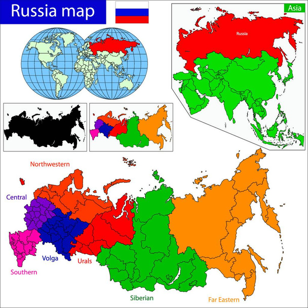
Russia map, graphic vector illustration