Social Media


Popular features
Photo

Filters

Stock vector images of Флорида
Discover royalty-free, professionally-designed vector art of Флорида for personal and commercial use.

Florida political map with capital Tallahassee, borders, important places, rivers and lakes. State, located in the southeastern region of the United States. Illustration with English labeling. Vector.

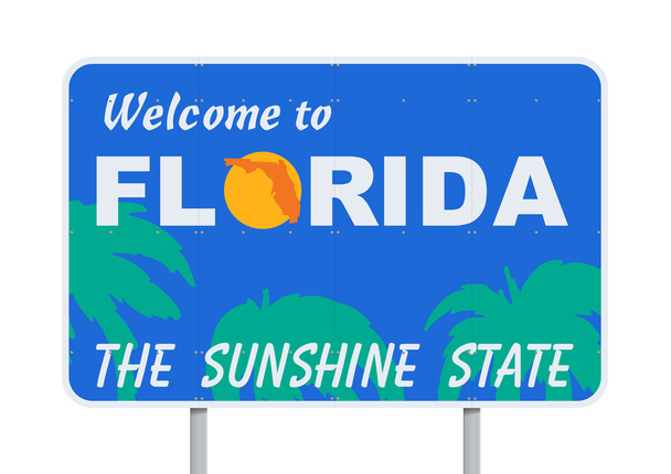
Vector illustration of "Welcome to Florida, the sunshine state" road sign

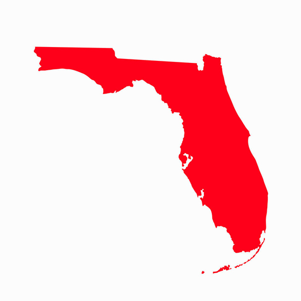
Florida vector map with red color on white background.


Map of Florida

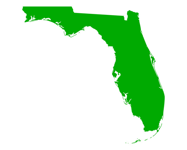
Map of Florida

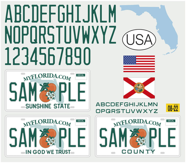
Florida License car plate pattern design, with numbers, letters and symbols, United States of America, vector illustration
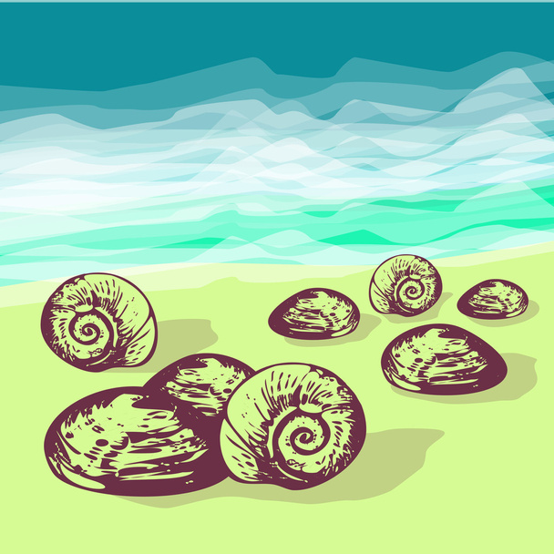

Florida Great Hunt, Always Adrenaline Born in Florida. vector print, vintage sea life silhouette print set


Road sign with Florida state map and crime tape.


Hand Drawn map of the state of Florida with main cities and points of interest. Colorful sketch style

Florida summer tee graphic design

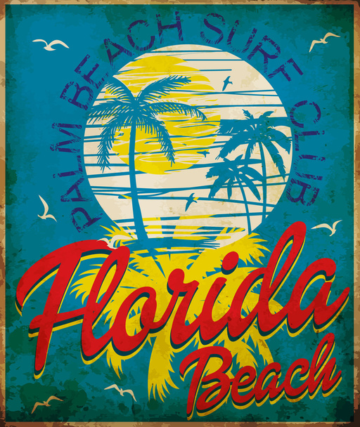
Tropical graphic with typography design florida beach surf club

Grunge rubber stamp with the name and map of Florida, vector illustration

Colorful tropical fish on a coral reef

Florida map on white background

Accurate map of Florida
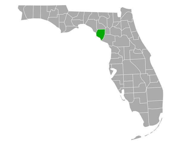
Map of Santa Rosa in Florida
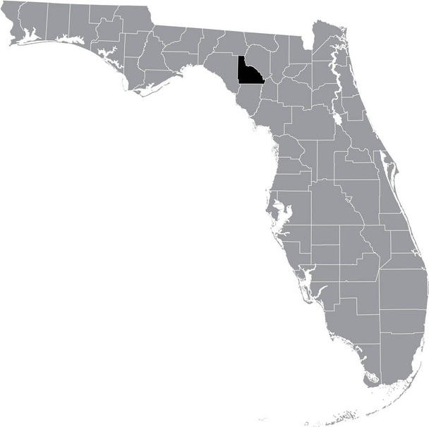
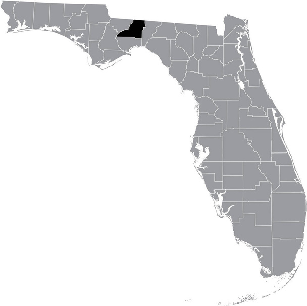
Black highlighted location map of the US Lafayette county inside gray map of the Federal State of Florida, USA

Map of Wakulla in Florida

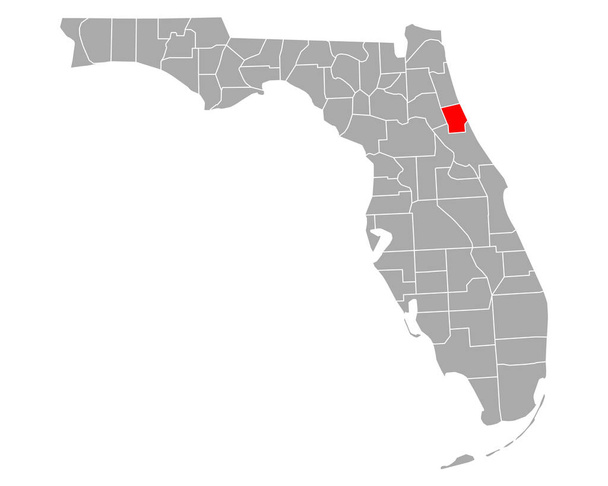
Map of Palm Beach in Florida

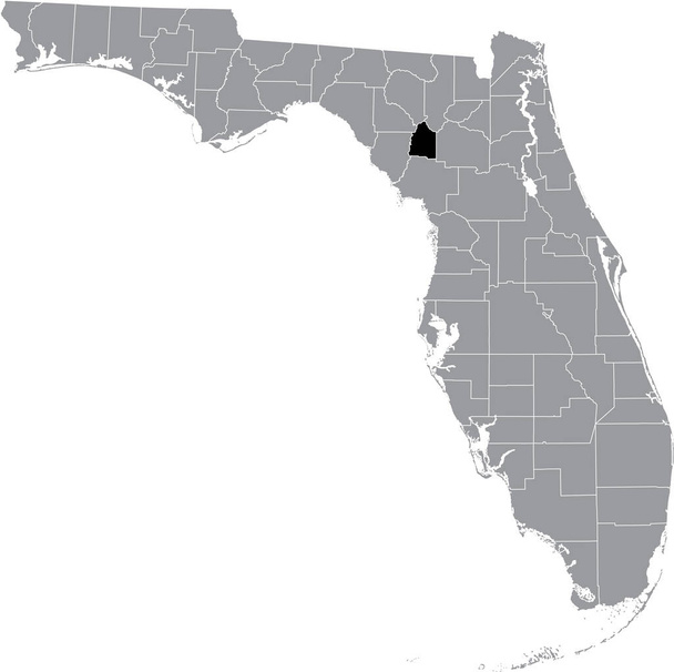
Black highlighted location map of the US Bradford county inside gray map of the Federal State of Florida, USA

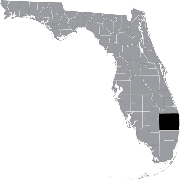
Black highlighted location map of the US Martin county inside gray map of the Federal State of Florida, USA

Black highlighted location map of the US Madison county inside gray map of the Federal State of Florida, USA
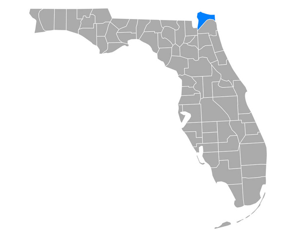
Map of Nassau in Florida
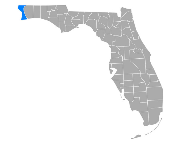
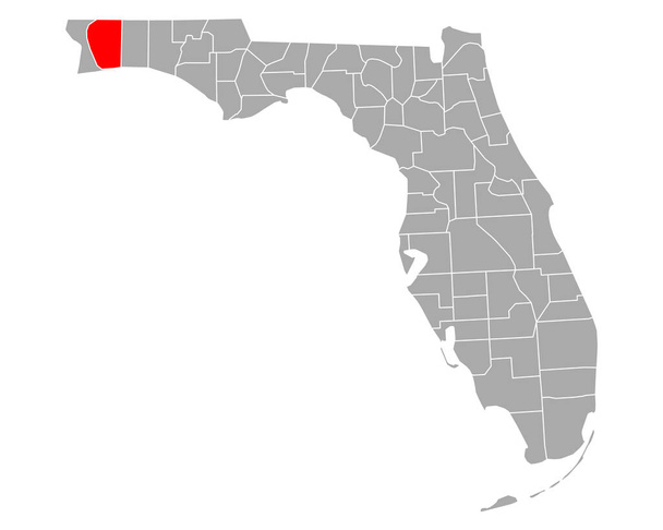
Map of Escambia in Florida
Black highlighted location map of the US Palm Beach county inside gray map of the Federal State of Florida, USA

Location Map of State Florida on map USA. 3d State Florida flag map marker location pin. High quality map of Florida. Vector illustration EPS10.
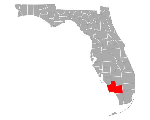
Map of Collier in Florida
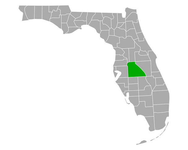
Map of Polk in Florida
Map of Calhoun in Florida
Black highlighted location map of the US Gilchrist county inside gray map of the Federal State of Florida, USA
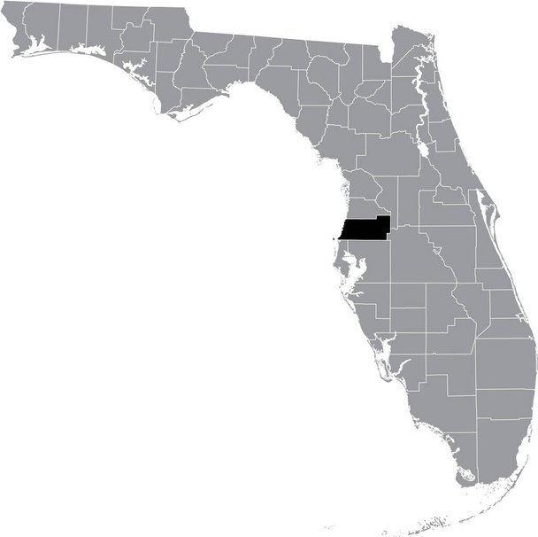
Black highlighted location map of the US Pasco county inside gray map of the Federal State of Florida, USA

Black highlighted location map of the US Okeechobee county inside gray map of the Federal State of Florida, USA

Map of the State of Florida and American flag illustration. America Flag map - vector illustration.
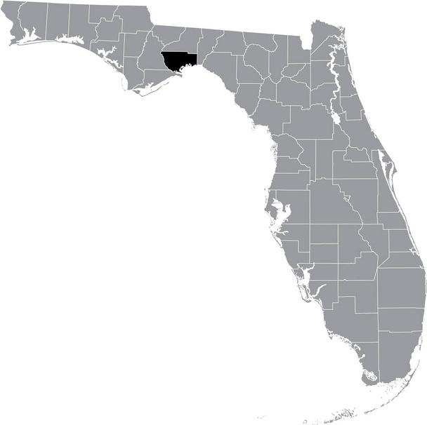
Black highlighted location map of the US Leon county inside gray map of the Federal State of Florida, USA
Black highlighted location map of the US Wakulla county inside gray map of the Federal State of Florida, USA
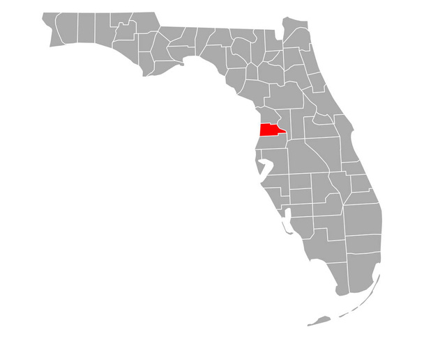
Map of Hernando in Florida

Black highlighted location map of the US Jefferson county inside gray map of the Federal State of Florida, USA

Map of Hendry in Florida

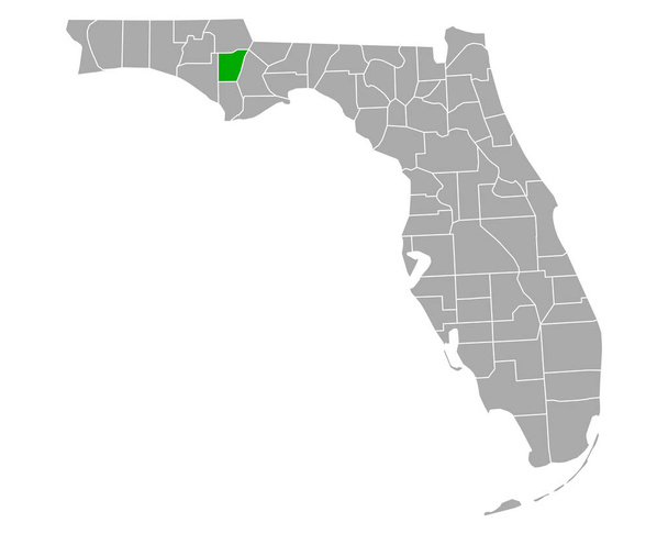
Map of Holmes in Florida
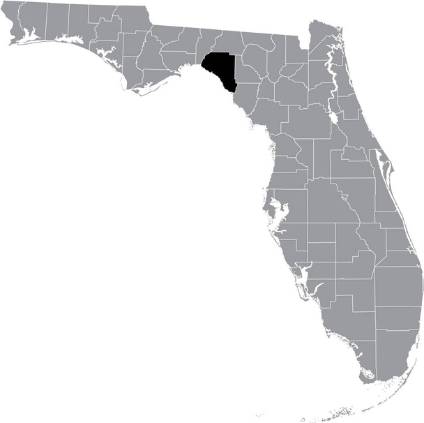
Black highlighted location map of the US Taylor county inside gray map of the Federal State of Florida, USA

Florida FL State Border USA Map Outline
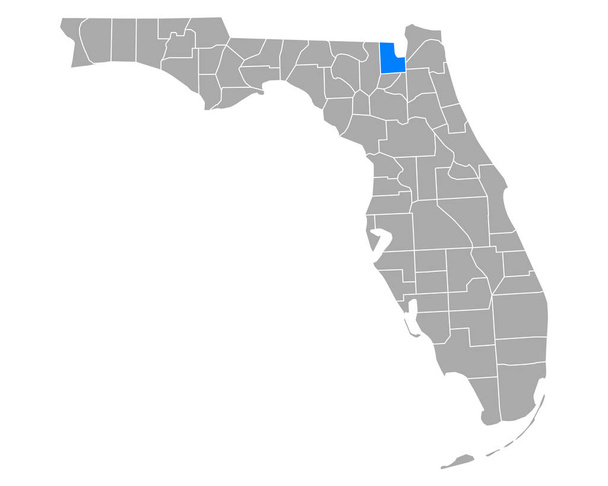
Map of Baker in Florida
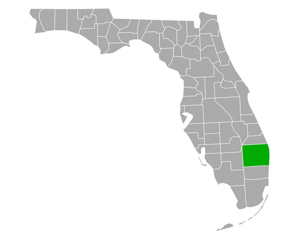
Map of Palm Beach in Florida

Map of Jefferson in Florida
Map of Flagler in Florida
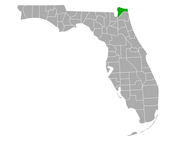
Map of Nassau in Florida

Florida black map on white background
Map of Gilchrist in Florida
Map of Glades in Florida

Map of St Lucie in Florida

Map of Madison in Florida

Map of Orandge in Florida

USA map with the indication of Sate of Michigan
Map of Dixie in Florida

Map of Lake in Florida

Outline of the map of Florida with confederate flag isolated on white
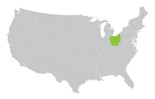
USA map with the indication of the State of Ohio
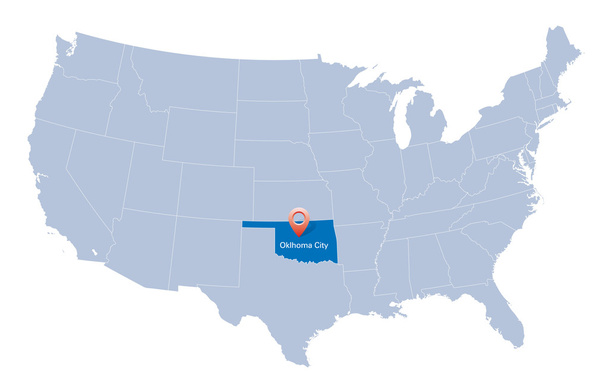
Map of USA with the indication of State of Oklahoma

Map of the USA in gray on a white background

Map of Putnam in Florida

USA map with the indication of State of Nevada

Vector map of USA with states and their capitals
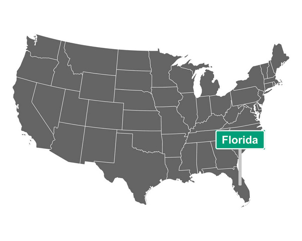
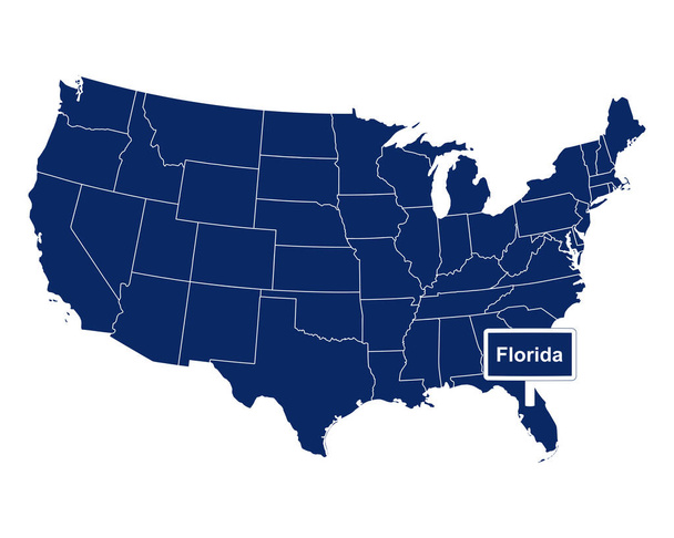
Florida state limit sign and map of USA as vector illustration

Doodle vector map of Florida state of USA. With legends of state and capital

United States map and flag - vector illustration

State Florida in scribble style - vector illustration. Abstract flat map of Florida with the imposition of US flag.
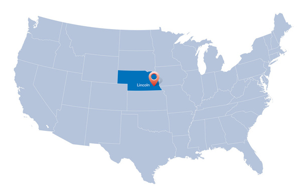
USA map with the indication of State of Nebraska and Lincoln

Flat design poster with beautiful evening scene of Miami vector illustration
The state of Florida with road sign

United States of America, multi colored political map. 50 states with own geographic territory, constituent entities, bound together in a union and a federal government. English. Illustration. Vector.

Florida Map Vector Design Template

Florida summer tee graphic design
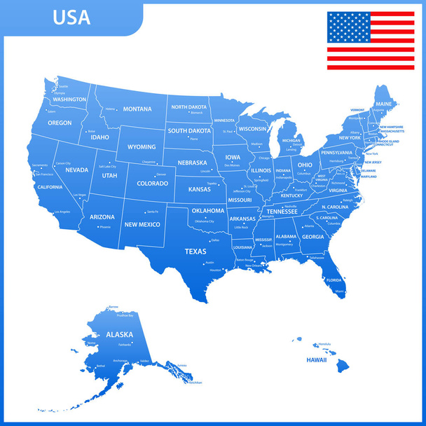
The detailed map of the USA with regions or states and cities, capital. United States of America with national flag

USA map with federal states. Vector illustration United states of America.

USA map and flag isolated on white background

Miami Beach lettering and gold silhouette buildings on black backround. Travel card.

USA blank map with it's lakes, rivers and separated states including Alaska and Hawaii.

Set of images of the map of the state of Florida

High detailed United States of America road map with labeling.

Vector color map of USA country

Florida political map with capital Tallahassee. State in the southeastern region of the United States, bordered by the Gulf of Mexico. Gray illustration on white background. English labeling. Vector.

Miami Beach, Florida State - typography for design clothes, t-shirts with palm trees and waves. Graphics for print product, apparel. Vector illustration.

Map of America in blue on a white background. Space for text.

Pinellas County, Florida (U.S. county, United States of America, USA, U.S., US) map vector illustration, scribble sketch Pinellas map

Florida state map with American national flag on white background

Accurate map of Florida

USA map and flag.Highly detailed vector illustration. Image contains next layers. There are land contours, country and land names, city names, water object names, flag, navigation icons, roads, railways.
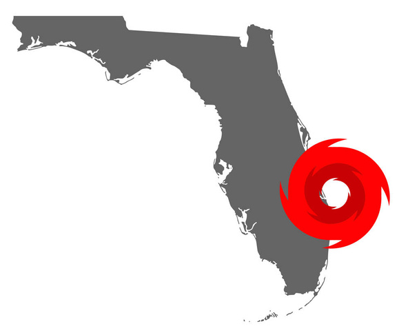
Map of Florida and hurricane symbol

United States Map - Detailed Vector Illustration