Social Media


Popular formats


Popular features
Photo

Filters

Stock vector images of Géographique
Discover royalty-free, professionally-designed vector art of Géographique for personal and commercial use.
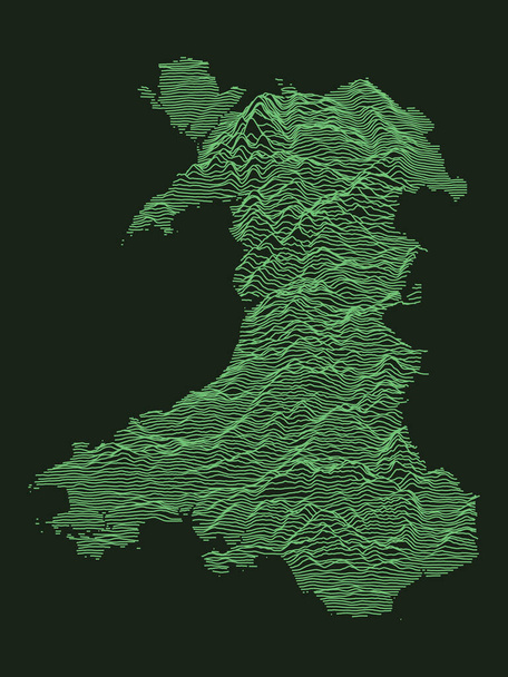
Tactical Military Emerald 3D Topography Map of European Country of Wales

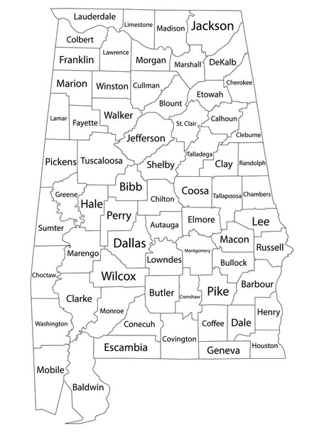
White Outline Counties Map With Counties Names of US State of Alabama

White Outline Counties Map With Counties Names of US State of Nevada

Topographic Relief Peaks and Valleys Map of US Federal State of Michigan
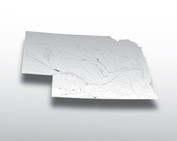
U.S. states - map of Nebraska with paper cut effect. Hand made. Rivers and lakes are shown. Please look at my other images of cartographic series - they are all very detailed and carefully drawn by hand WITH RIVERS AND LAKES.
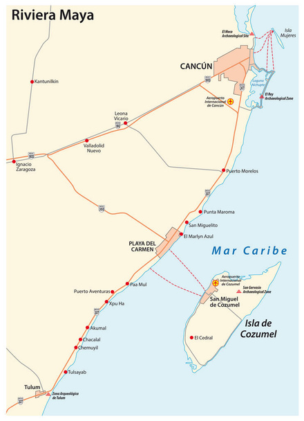
Riviera maya road vector map, quintana roo, mexico

Street map of town background in gray. Street map of town for your web site design, logo, app, UI. Stock vector. EPS10.
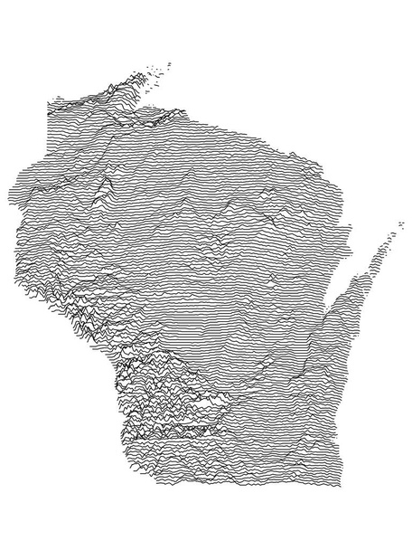
Topographic Relief Peaks and Valleys Map of US Federal State of Wisconsin
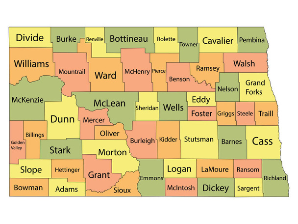
Colorful County Map With Counties Names of the US Federal State of North Dakota
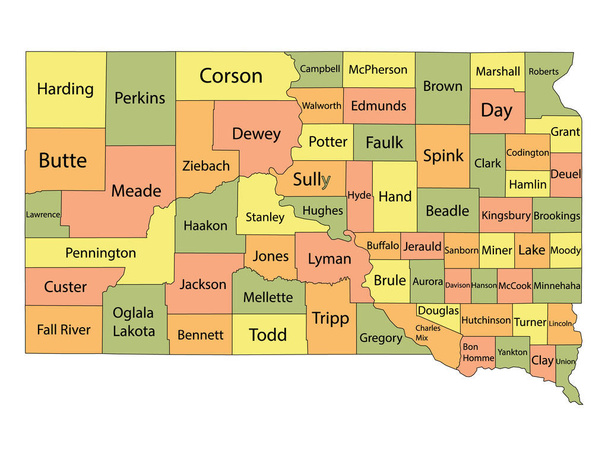
Colorful County Map With Counties Names of the US Federal State of South Dakota
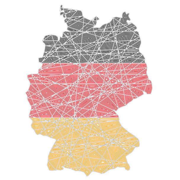
Germany stylized map shaped on tangled textured national flag vector illustration

White Outline Counties Map With Counties Names of US State of Virginia

Colorful County Map With Counties Names of the US Federal State of Rhode Island
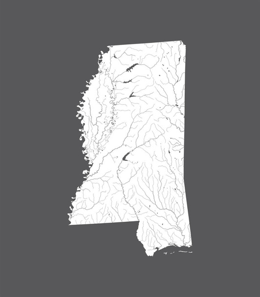
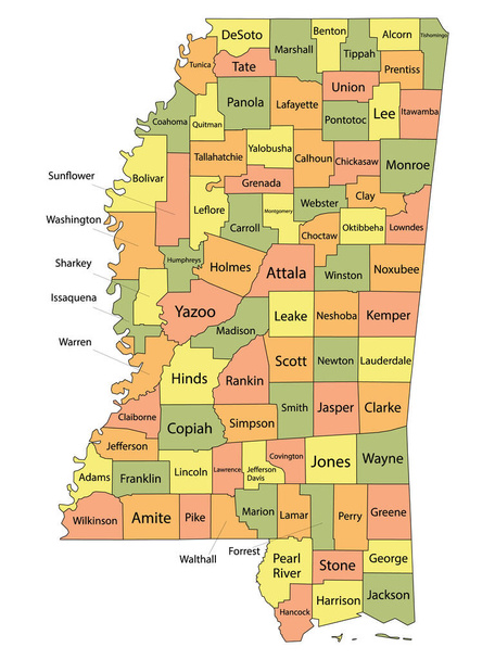
U.S. states - map of Mississippi. Hand made. Rivers and lakes are shown. Please look at my other images of cartographic series - they are all very detailed and carefully drawn by hand WITH RIVERS AND LAKES.
Tourism icons colored set with cart, compass, wristwatch and other sunbed elements. Isolated vector illustration tourism icons.
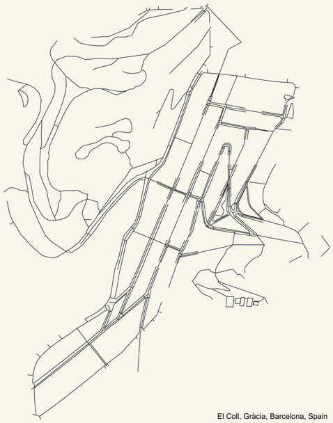
Black simple detailed street roads map on vintage beige background of the El Coll neighbourhood of the Grcia district of Barcelona, Spain

United States Federal Map of Idaho within 3D United States Silver Dollar Coin
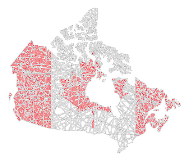
Canada map shaped on tangled textured Canadian national flag vector illustration

Tactical Military Emerald 3D Topography Map of European Country of Scotland

U.S. states - map of Arizona with paper cut effect. Hand made. Rivers and lakes are shown. Please look at my other images of cartographic series - they are all very detailed and carefully drawn by hand WITH RIVERS AND LAKES.

United States Federal Map of Montana within United States Golden Dollar Coin

White Outline Counties Map With Counties Names of US State of Rhode Island
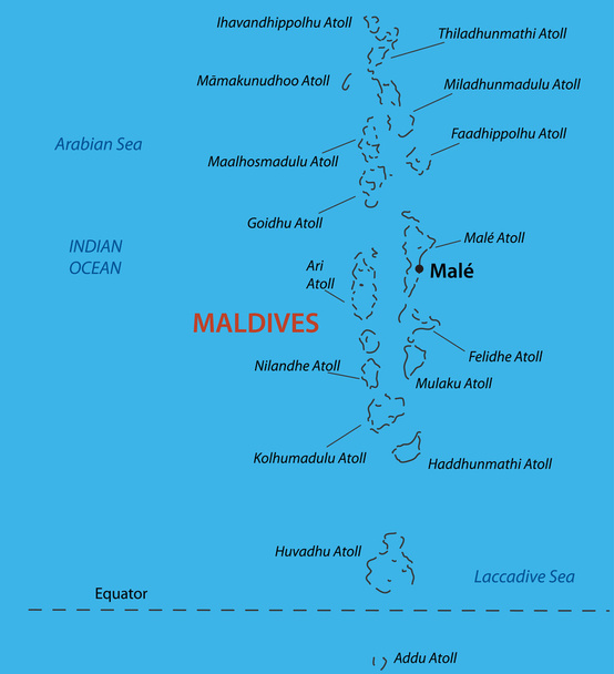
Republic of the Maldives - vector map

Map scales graphics for measuring distances. Scale measure map vector. Latitude and longitude distance
Cartogram color icon. Diagram. USA map with statistics. Data visualization. Financial, sociological, marketing visual information. Geographical differences graphic report. Isolated vector illustration

Topographic Relief Peaks and Valleys Map of US Federal State of Alabama
Traveling Icons Set. Collection Of Security Scanner, Takeaway Coffee, Road Map And Other Elements

Coat of Arms of the Andorran Parish of Escaldes-Engordany

Black simple detailed street roads map on vintage beige background of the quarter Osnovianskyi district (raion) of Kharkiv, Ukraine
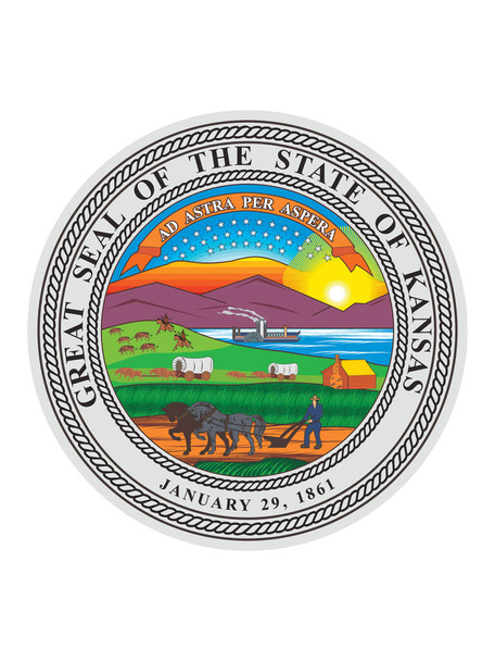
Great Seal of US Federal State of Kansas (The Sunflower State)
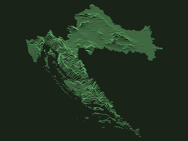
Tactical Military Emerald 3D Topography Map of European Country of Croatia

Southern African Development Community Flag Vector Illustration on White Background.
Travel icons set with jellyfish, oxygen cylinder, aircraft and other solar elements. Isolated vector illustration travel icons.

White Outline Counties Map With Counties Names of US State of West Virginia

Magnetic field of horseshoe magnet illustration

Gray Topographic Relief Map of European Country of Ireland

State map outline of Colorado over a white background

United States Federal Map of Nebraska within United States Golden Dollar Coin

Vector map of the city of Duisburg, Germany
Set Of 9 Editable Location Icons. Includes Symbols Such As Spyglass, Barrier, Magnet Navigator And More
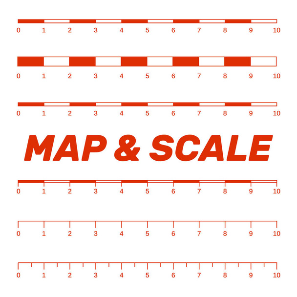
Map scales graphics for measuring distances. Scale measure map vector. Latitude and longitude distance

United States Federal Map of Tennessee within United States Golden Dollar Coin

United States Federal Map of Connecticut within 3D United States Silver Dollar Coin

United States Commonwealth of Pennsylvania Map within 3D United States Silver Dollar Coin
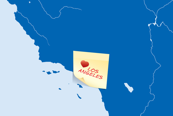
USA map with yellow stick note card with I love Los Angeles text

The Utah State map with some of the main cities

White Outline Counties Map With Counties Names of US State of Arizona

White Outline Counties Map of US State of Kansas

Colorful County Map With Counties Names of the US Federal State of Alabama

Colorful County Map With Counties Names of the US Federal State of Nebraska

Black simple detailed street roads map on vintage beige background of the La Trinitat Nova neighbourhood of the Nou Barris district of Barcelona, Spain
Compass web icon. flat design. Seamless gray pattern. Vector EPS10

Coat of Arms of the Andorran Parish of Andorra la Vella
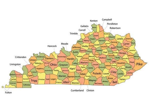
Colorful County Map With Counties Names of the US Federal State of Kentucky

Topographic Relief Peaks and Valleys Map of US Federal State of Rhode Island

United States Federal Map of South Carolina within United States Golden Dollar Coin

United States Federal Map of Missouri within 3D United States Silver Dollar Coin

Euro and europe problems as sand clock
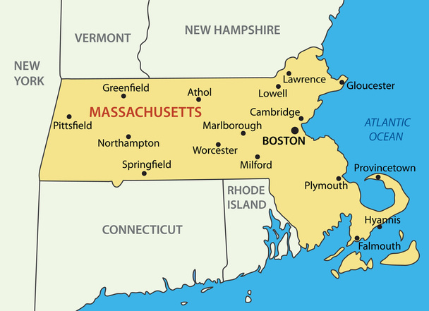
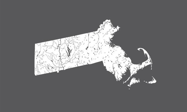
Commonwealth of Massachusetts - vector map
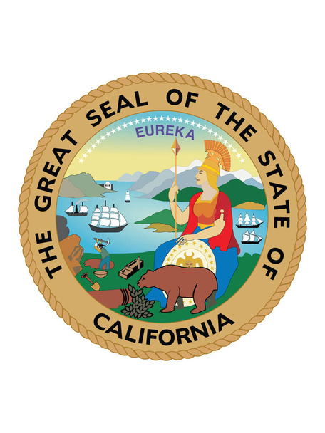
Great Seal of US Federal State of California (The Golden State)
Blue Smooth Topographic Relief Peaks and Valleys Map of US Federal State of Wyoming

United States Federal Map of Montana within 3D United States Silver Dollar Coin
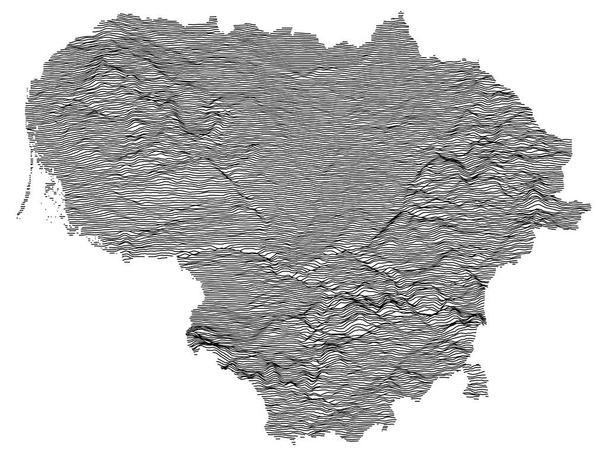
Gray Topographic Relief Map of European Country of Lithuania
U.S. states - map of Massachusetts. Hand made. Rivers and lakes are shown. Please look at my other images of cartographic series - they are all very detailed and carefully drawn by hand WITH RIVERS AND LAKES.

U.S. states - map of Nevada. Hand made. Rivers and lakes are shown. Please look at my other images of cartographic series - they are all very detailed and carefully drawn by hand WITH RIVERS AND LAKES.

U.S. states - map of Wyoming. Hand made. Rivers and lakes are shown. Please look at my other images of cartographic series - they are all very detailed and carefully drawn by hand WITH RIVERS AND LAKES.

Merina Kingdom (1540-1897) Flag Waving Vector Illustration on White Background. Kingdom of Imerina or Kingdom of Madagascar.

Gray Topographic Relief Map of European Country of Denmark
Colorful County Map With Counties Names of the US Federal State of Mississippi
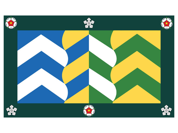
Flat Vector Flag of the English Ceremonial County of Cumbria

Silhouette Map of the US Federal State of Alabama with it's Postal Code Abbreviation
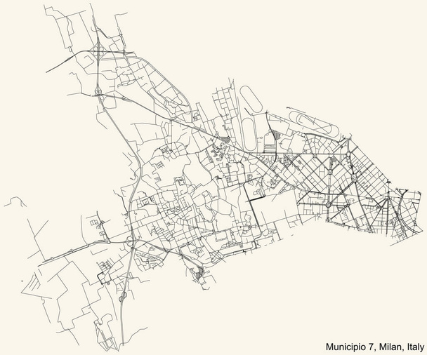
Black simple detailed street roads map on vintage beige background of the quarter Municipio 7 Zone of Milan, Italy (Baggio, De Angeli, San Siro)

Vector map of the city of Nottingham, Nottinghamshire, East Midlands, England, UK

Great Seal of US Federal State of Georgia (The Peach State)

U.S. states - map of Kansas with paper cut effect. Hand made. Rivers and lakes are shown. Please look at my other images of cartographic series - they are all very detailed and carefully drawn by hand WITH RIVERS AND LAKES.
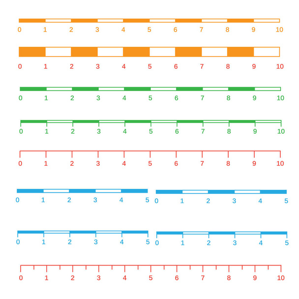
Map scales graphics for measuring distances. Scale measure map vector. Latitude and longitude distance
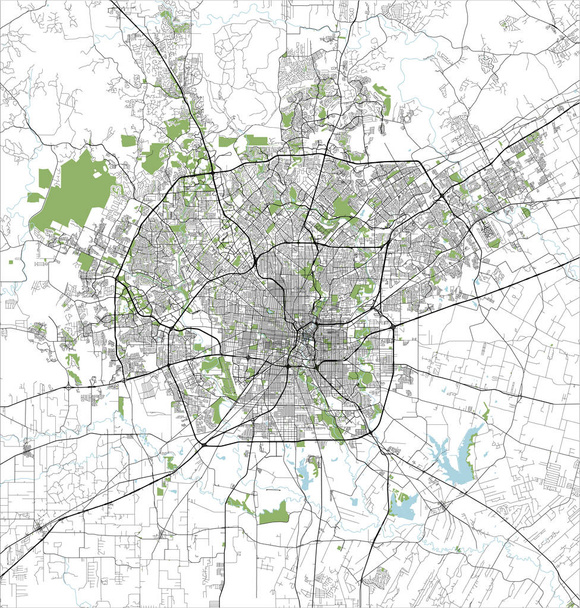
Vector map of the city of San Antonio, Texas, USA

Flat Vector Flag of the English Ceremonial County of Tyne and Wear

Coat of Arms of the Norwegian County of Viken

Silhouette Map of the US Federal State of Oklahoma with it's Postal Code Abbreviation
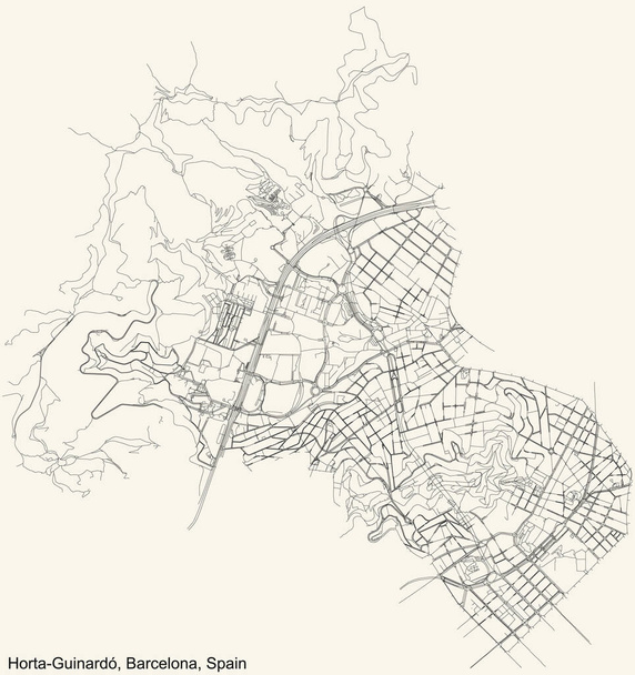
Black simple detailed street roads map on vintage beige background of the quarter Horta-Guinard district of Barcelona, Spain

United States Commonwealth of Kentucky within United States Golden Dollar Coin

United States Federal Map of Alaska within 3D United States Silver Dollar Coin

Outline of the map of Florida isolated on white with flag inset
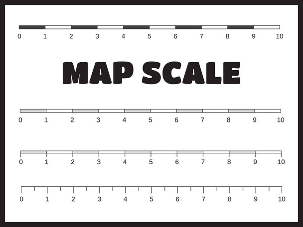
Map scales graphics for measuring distances vector
Compass web icon. flat design. Seamless gray pattern. Vector EPS10
Set Of 16 Travel Icons. Includes World, Travel Clock, Video Surveillance And Other Symbols. Beautiful Design Elements.
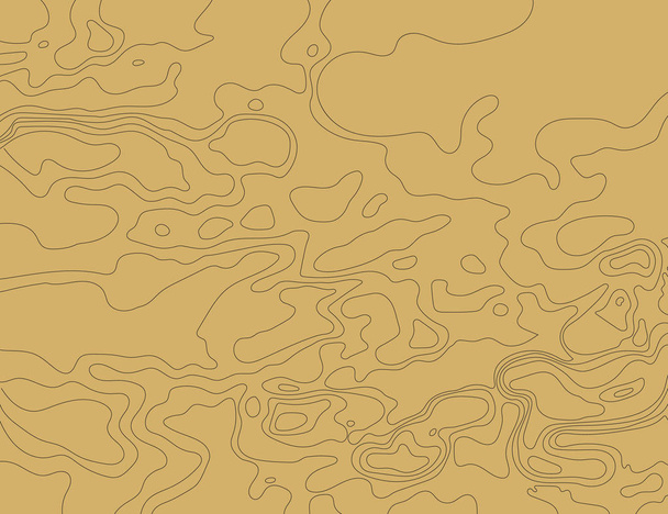
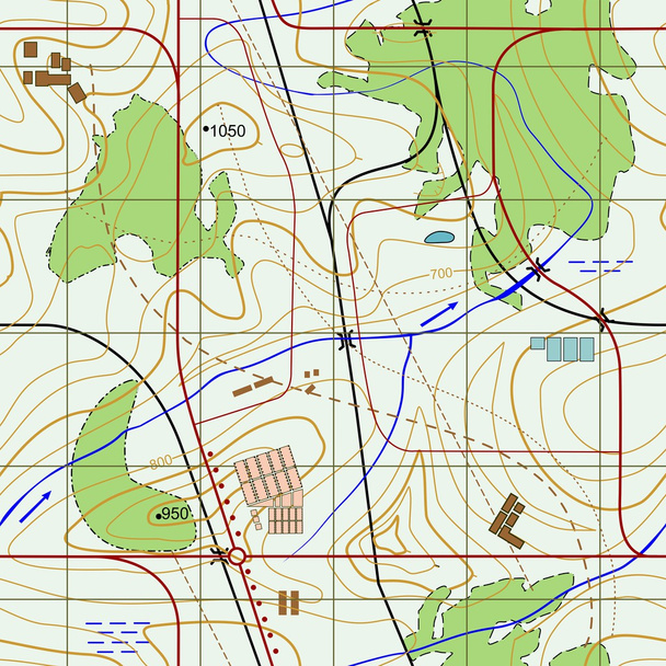
Topographic map on a brown background. Vector illustration .
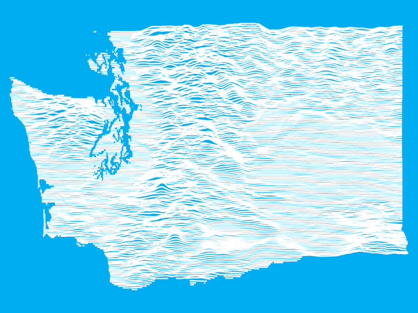
Blue Smooth Topographic Relief Peaks and Valleys Map of US Federal State of Washington

Black simple detailed street roads map on vintage beige background of the La Prosperitat neighbourhood of the Nou Barris district of Barcelona, Spain

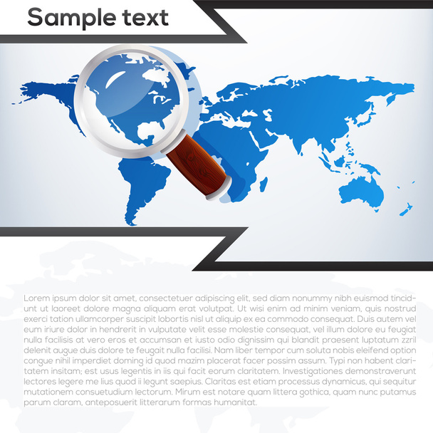
Local search optimization abstract concept vector illustration. Local SEO, geographical optimization, search engine targeting, narrow audience, targeted business promotion abstract metaphor.

Topographic Relief Peaks and Valleys Map of US Federal State of Iowa

Great Seal of US Federal State of Minnesota (Land of 10000 Lakes)

U.S. states - map of Montana with paper cut effect. Hand made. Rivers and lakes are shown. Please look at my other images of cartographic series - they are all very detailed and carefully drawn by hand WITH RIVERS AND LAKES.
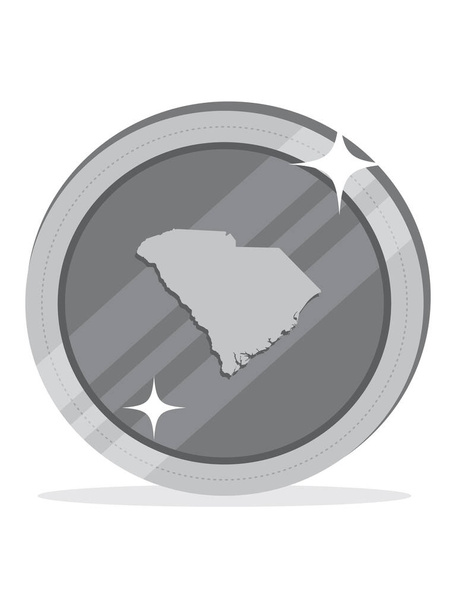
United States Federal Map of South Carolina within 3D United States Silver Dollar Coin

Hand drawn illustration of anchor and ribbon for your text
Seamless Abstract topographical map. Seamless pattern